The Digital Chart of the World Data (DCW)
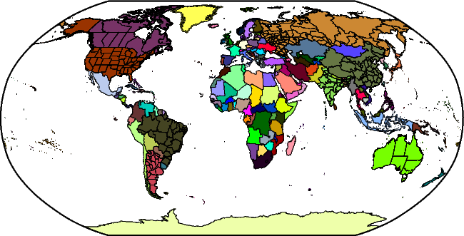
The Digital Chart of the World (DCW) is a comprehensive 1:1,000,000 scale vector basemap of the world. The charts were designed to meet the needs of pilots and air crews in medium-and low-altitude en route navigation and to support military operational planning, intelligence briefings, and other needs. For basic background information about DCW, see the http://en.wikipedia.org/wiki/Digital_Chart_of_the_World Wikipedia entry.
DCW-GMT is an enhancement to DCW in a few ways:
- It contains more state boundaries (the largest 8 countries are now represented).
- The data have been reformatted to save space and are distributed as a single deflated netCDF-4 file.
DCW-GMT is an optional install. If you did install it then you can access the DCW data for plotting or analysis via the coast module. You can also use the ISO 2-character codes for countries as a way to specify map domains via the -R option. For instance, to make a map showing France with a region rounded to the nearest 2 degrees in longitude and latitude, you can run:
gmt coast -RFR+r2 -Glightgray -B -pdf france
If we in addition want to paint the landmass of France blue, we run:
gmt coast -RFR+r2 -Glightgray -B -EFR+gblue -pdf france
To access states without countries you must use the country.state syntax. See the coast documentation for details. For instance, to make a map of the US and show Texas and Mississippi as red states, try:
gmt coast -RUS+r2 -Glightgray -B -EUS.TX,US.MS+gred -pdf us
Notes:
If you are building GMT from source then you should set the parameter DCW_ROOT in the cmake/ConfigUser.cmake to point to the directory where dcw-gmt.nc has been placed. If you add this file after GMT installation was completed then you can always have GMT find it by placing it in your user ~/.gmt directory or by setting the DIR_DCW parameter in the gmt.conf settings.
DCW-GMT is released under the GNU Lesser General Public License.