(52) Image and grid manipulation
This example highlights how GMT can be used to manipulate images in conjunction with grids, using grdmix (as well as grdmath). We start with two GeoTIFF images for the day (@earth_day) and night (@earth_night) Earth views and compute a day/night smoothed grid to reflect the state on June 22, 2000 at midnight in Hawaii. The day/night grid is used to blend between the two images with grdmix, and we add more life to the plot by modifying the colors based on intensities computed from a co-registered DEM. The final image is then overlaid on an Earth viewed from a point near Florida.
#!/usr/bin/env bash
# GMT EXAMPLE 52
#
# Purpose:     Mixing images and overlaying them on the Earth
# GMT modules: grdgradient, grdimage, grdmath, grdmix, grdsample, solar
# Unix progs:	rm

res=20m # Change to 15m, 10m, 06m, 05m, 04m, 03m, 02m, 01m, 30s for higher resolutions

gmt begin ex52

  # Use the location of the Sun at noon on Jun 22, 2000, Hawaii Standard Time
  # Make a global grid with a smooth 2-degree transition across day/night boundary.
  gmt grdmath -Rd -I${res} -r $(gmt solar -C -o0:1 -I+d2000-06-22T24:00+z-10) 2 DAYNIGHT = w.grd

  # We will create an intensity grid based on a pixel-registered DEM so that we can see structures in the oceans
  gmt grdgradient @earth_relief_${res}_p -Nt0.5 -A45 -Gintens.grd

  # Blend the earth_day and earth_night GeoTIFFs using the weights, so that when w is 1
  # we get the earth_day, and then adjust colors based on the intensity.

  gmt grdmix @earth_day_${res} @earth_night_${res} -Ww.grd -Iintens.grd -Gview.tif

  # Plot this image on an Earth with view from over Mexico
  gmt grdimage view.tif -JG80W/30N/18c -Bafg
  # Clean up after use
  rm -f w.grd intens.grd view.tif
gmt end show
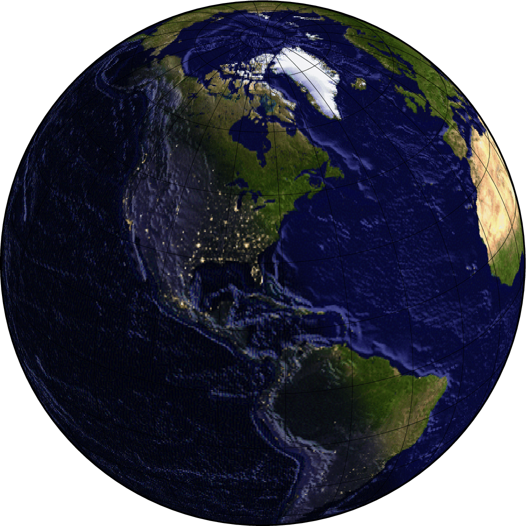
Image and grid manipulation.